| Forton to St Mary Bourne |
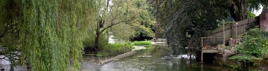
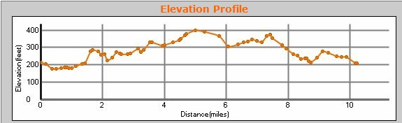
10.9 miles, circular. Pleasant walk, with more "up" than I had anticipated (didn't read my own elevation profile!). This is where the Test Way leaves the river Test, and follows the Bourne Rivulet. Very quiet walk ... saw hardly a soul (mind you, it was drizzling most of the time). Note that the Test Way has been officially diverted around Forton; details in the previous walk. Park on the red circle below, and either load the GPX file into your GPS, or follow the TW signs. You can scroll the map below simply by moving the mouse with the left-button held down.
|
|
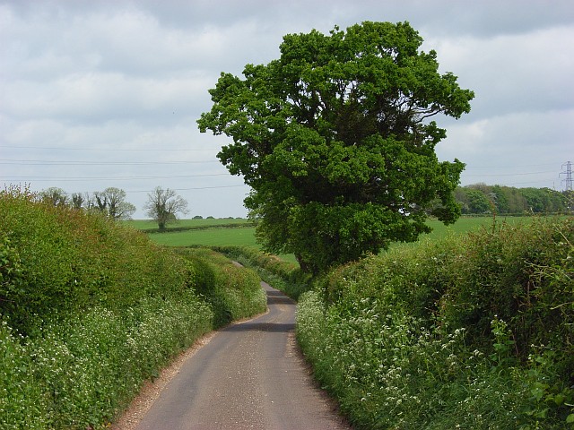
© Copyright Andrew Smith and licensed for reuse under this Creative Commons Licence
See other pictures of this area here.
To download GPX Files, right-click the link, choose Save Link As ..., and save it to wherever you keep route files.
See the documentation that came with your GPS for information on how to download the route to your GPS.
These are a selection of Ordnance Survey Maps that cover this walk.
Geocaches on route
No Geocaches on this section
Not even any nearby.